
Tina Schwarz · 17 September 2026
Urban Infrastructure Mysteries: Tracing Forgotten Pathways in City Expansion Plans
City planners and engineers have documented numerous cases where older pathways, tunnels, and utility corridors remain embedded beneath modern streets, and these remnants often surface during expansion projects when excavation crews encounter unexpected structures that predate current zoning maps. Research indicates that many North American and European municipalities maintain partial records of these features, yet comprehensive inventories stay incomplete because successive development phases layered new systems over older ones without full documentation transfers.
Historical Layers in Modern Grids
Urban expansion frequently builds upon earlier transportation and drainage networks, so abandoned rail spurs, disused aqueduct segments, and former canal beds continue to influence subsurface conditions long after surface traces disappear. Data from infrastructure assessments show that cities like Chicago and Toronto still reference nineteenth-century alignments when updating sewer and power lines, because those alignments affect soil stability and utility placement even though the original routes no longer carry traffic. Observers note that construction logs from the 1920s through the 1950s routinely mention “ghost” connections that crews had to seal or reroute rather than remove entirely.
Mapping Technologies and Recent Discoveries
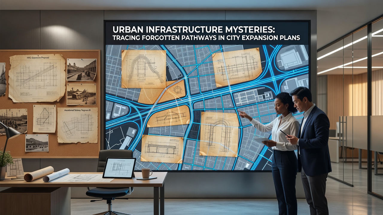
Ground-penetrating radar combined with historical GIS overlays has helped crews locate forgotten access points in several recent projects, and one study released by the University of Melbourne’s Faculty of Engineering found that such combined datasets increased detection rates of pre-1940 utility corridors by approximately 37 percent compared with traditional survey methods alone. In September 2026 the Australian Department of Infrastructure, Transport, Regional Development, Communications and the Arts plans to release updated national guidelines that require municipalities to incorporate these layered mapping techniques before approving large-scale road or transit expansions. Those guidelines also recommend cross-referencing with archival photographs and property deeds to reduce the chance of unexpected encounters during later phases of construction.
Meanwhile, similar initiatives have taken shape across North America, where federal agencies now encourage states to digitize legacy infrastructure drawings that remain stored in paper format only. The reality is that many mid-sized cities still rely on incomplete paper files that were never transferred to digital platforms, so field teams frequently discover discrepancies between expected and actual subsurface conditions once digging begins.
Case Examples from Expanding Districts
Take one redevelopment zone in Vancouver where engineers uncovered a brick-lined storm channel from the 1890s that still directed runoff into a modern combined sewer system, and the channel’s alignment forced planners to adjust foundation depths for two new residential towers. Similar situations have arisen in Denver, where crews encountered disused trolley tunnels that intersected proposed light-rail extensions, requiring additional structural bracing and revised schedules. Figures released by Transport Canada indicate that roughly one in eight major transit projects completed between 2015 and 2024 encountered at least one undocumented subsurface feature that altered original timelines.
Those encounters often trace back to periods of rapid growth when record-keeping standards varied widely between private developers and municipal offices, and the resulting gaps persist because later administrations did not always verify older drawings against physical inspections. Researchers at several Canadian universities have begun cross-referencing building permits with contemporary newspaper accounts to reconstruct pathways that official maps omitted, and early results suggest that such hybrid archives can identify up to 22 percent more legacy features than current digital records alone contain.
Policy Responses and Data Integration
Government bodies in multiple regions have started requiring pre-construction geophysical surveys as standard practice, and the European Commission’s urban development directorate has funded pilot programs that integrate satellite interferometry with municipal archives to flag potential anomalies before permits are issued. Data shows these combined approaches reduce change orders related to unforeseen underground structures by measurable margins, though the exact savings depend on local soil conditions and the age of existing records. In practice, municipalities that maintain centralized digital repositories experience fewer delays, whereas those relying on fragmented departmental files continue to face repeated surprises during excavation.
Planners also examine how forgotten pathways affect long-term maintenance budgets, because sealed or abandoned segments can still influence groundwater flow and create localized settlement risks decades after they cease active use. Studies compiled by the National Academies of Sciences, Engineering, and Medicine in the United States highlight that consistent documentation standards across jurisdictions remain the primary barrier to more accurate forecasting of these risks during expansion planning.
Conclusion
Urban infrastructure continues to carry traces of earlier layouts that expansion plans must account for, and ongoing advances in mapping technology are gradually closing gaps between archival records and physical conditions. As cities prepare updates scheduled for release around September 2026, the integration of historical data with modern survey methods offers a practical route toward fewer unexpected encounters and more reliable project timelines. Those who manage these records note that sustained investment in digitization and cross-agency sharing will determine how effectively future generations navigate the layered pathways already embedded beneath expanding streets.