Tina Schwarz · 15 October 2026
The Interplay Between Dedicated Transport Corridors and Emergency Response Protocols in Metropolitan Settings
Metropolitan areas rely on dedicated transport corridors to manage high volumes of traffic while maintaining access for critical services, and these corridors integrate with emergency response protocols through coordinated traffic management systems that prioritize vehicle movement during incidents. Cities implement dedicated lanes for buses, high-occupancy vehicles, and sometimes emergency fleets, yet the real test comes when ambulances, fire apparatus, and police units require rapid passage through congested zones.
Defining Dedicated Transport Corridors in Urban Contexts
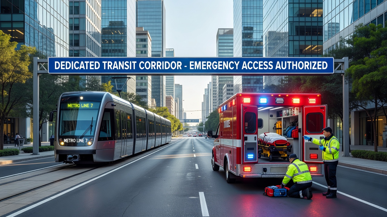
Planners design dedicated transport corridors as separated pathways that include bus rapid transit lanes, truck-only routes, and priority access segments reserved for authorized vehicles, and these structures reduce conflicts between regular traffic and specialized flows. Data from transportation agencies shows that corridors often span several kilometers through dense districts where they connect to arterial roads equipped with signal preemption technology. Researchers note that such setups allow for dynamic adjustments based on real-time sensor inputs, which helps maintain flow even when incidents occur nearby.
Emergency Response Protocols and Their Core Components
Emergency response protocols in metropolitan settings follow standardized sequences that begin with dispatch coordination, continue through route selection via integrated mapping software, and end with on-scene resource allocation, while agencies train personnel to activate corridor overrides when standard paths become blocked. Protocols frequently incorporate multi-agency communication networks that link fire departments with traffic control centers, and studies indicate these networks cut average response times by measurable percentages in tested urban grids. Figures from regional authorities reveal that protocols now embed fallback procedures for corridor closures due to construction or events, ensuring alternative routing remains viable.
How Corridors Support or Challenge Emergency Access
Dedicated corridors provide clear advantages when emergency vehicles receive priority signaling that shifts traffic lights and opens barriers, yet they can create bottlenecks if unauthorized vehicles encroach or if physical barriers prevent quick entry. Observers note that in cities where corridors run parallel to major highways, responders often use them as secondary arteries during peak hours, and this practice relies on inter-departmental agreements that specify activation triggers. What's interesting is how corridor design influences protocol effectiveness, since narrow dedicated lanes may accommodate smaller response units but limit larger apparatus like ladder trucks.
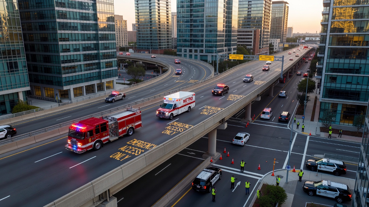
One documented case involved a major incident where responders rerouted through a bus corridor after a multi-vehicle crash closed primary roads, and the move succeeded because pre-installed sensors detected the change and adjusted downstream signals accordingly. Data indicates that successful integrations depend on regular joint exercises between transport operators and emergency services, which identify friction points before they affect live operations.
Technological Integration and Data-Driven Adjustments
Smart systems now link corridor monitoring cameras with emergency dispatch software, allowing automatic detection of blocked segments and instant protocol activation, while cities update these platforms through iterative testing cycles. According to reports from the U.S. Department of Transportation, such integrations have expanded in recent years to cover additional corridor miles in several large metros. European Union transport analyses further show that predictive algorithms help forecast corridor demand during major events, giving responders advance notice to stage resources at key junctions.
October 2026 marks the scheduled rollout of an updated international standard for corridor-emergency interfaces, and participating agencies plan to align their protocols with the new guidelines during that period. This development builds on existing sensor networks that already feed data into centralized command dashboards used by both traffic managers and first responders.
Geographic Variations and Implementation Examples
North American cities tend to emphasize flexible corridor access through electronic gates that open for verified emergency transponders, whereas Australian metropolitan authorities focus on physical widening of select lanes to accommodate oversized response vehicles. Canadian studies highlight corridor segments near hospitals that receive enhanced lighting and signage to support night operations, and these features appear in updated municipal plans released within the last two years. Each approach demonstrates how local geography and existing infrastructure shape the interplay between corridors and protocols without a single universal model.
Conclusion
The relationship between dedicated transport corridors and emergency response protocols continues to evolve through technology, joint planning, and periodic standard updates that address metropolitan growth patterns. Agencies maintain these systems by collecting performance metrics after each significant incident, then refine corridor access rules and protocol sequences based on the resulting evidence. Future adjustments will likely incorporate additional data sources as cities expand their sensor coverage and refine coordination methods across departments.