Hugo Bauer · 3 September 2026
Adaptive Alignment Strategies in Evolving Urban Networks
Urban networks continue to expand as cities absorb population increases and technological upgrades reshape daily operations, and adaptive alignment strategies provide frameworks that allow infrastructure components to shift in response to real-time demands. Researchers track these developments through data collected from traffic sensors, utility grids, adn public transit logs, while government agencies compile annual reports that document how alignment occurs across multiple layers of city systems.
Core Elements of Urban Network Evolution
Transportation corridors, energy distribution lines, and communication pathways form the primary structures within evolving urban networks, and each element requires ongoing calibration to maintain service continuity. Studies from the U.S. Department of Transportation show that cities implementing sensor-based monitoring achieve measurable reductions in congestion delays during peak hours, whereas regions without such systems experience higher rates of bottleneck formation. European Environment Agency publications further indicate that alignment processes integrate environmental data alongside mobility metrics, which allows planners to adjust green corridors and freight routes simultaneously.
Population density maps reveal that growth concentrates along existing rail and highway spines, and this pattern prompts authorities to deploy modular infrastructure segments that can be repositioned when demand shifts. Academic papers published by the University of Melbourne's urban research group document similar adjustments in Australian metropolitan areas, where alignment strategies have incorporated predictive modeling to forecast residential expansion zones two to five years ahead.
Implementation Approaches Across Regions
City administrations apply adaptive alignment through layered decision protocols that combine fixed schedules with dynamic overrides triggered by sensor thresholds. In North American examples, traffic management centers coordinate signal timing across arterial roads while simultaneously rerouting public transit vehicles based on occupancy data collected from onboard systems. Canadian infrastructure reports highlight how these protocols reduce average commute times by integrating weather forecasts and event calendars into the same control platforms.
Asian megacities demonstrate parallel methods that emphasize rapid redeployment of temporary lanes and pop-up transit hubs during major construction phases or seasonal festivals. Data compiled by the World Bank urban development division shows that such flexible configurations maintain throughput levels even when permanent road capacity remains constrained by ongoing redevelopment projects.
Technology Integration and Data Flows
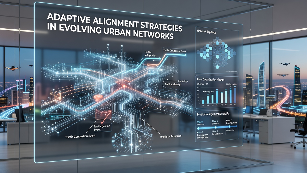
Digital platforms serve as the connective tissue that enables alignment across separate urban systems, and these platforms aggregate inputs from IoT devices, satellite imagery, and citizen reporting applications. Research teams at Delft University of Technology have examined how machine learning models process these combined datasets to generate alignment recommendations that account for both short-term disruptions and long-term land-use changes. The models operate on rolling time horizons that update every fifteen minutes during high-activity periods.
Utility providers participate in the same data ecosystems by sharing load information that influences decisions about electric vehicle charging station placement and grid reinforcement timing. Observers note that synchronization between mobility and energy networks prevents situations where new transit routes overload local substations, a coordination challenge documented in multiple case studies from the International Energy Agency.
Planning Milestones Through 2026
September 2026 marks the scheduled release of updated alignment guidelines from several international bodies, including revised performance benchmarks that cities will use to evaluate their network responsiveness. These forthcoming documents incorporate lessons from recent pilot programs that tested distributed ledger systems for tracking infrastructure component movements and maintenance histories. Municipal teams preparing for these updates currently audit their existing data pipelines to ensure compatibility with the new reporting formats.
Conclusion
Adaptive alignment strategies continue to evolve alongside the urban networks they serve, and ongoing data collection supports incremental refinements that keep pace with demographic and technological shifts. Regional authorities and research institutions maintain collaborative channels that allow successful approaches to transfer across different geographic and regulatory contexts. The frameworks established today provide measurable improvements in system reliability while creating space for further adjustments as cities expand their reach and complexity.